Log in
All resources
Create a design
1,095,865 Free Images of Maps Of Chaldea
oil on canvas
portrait
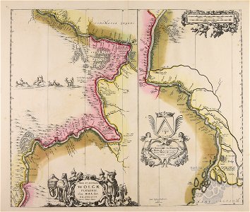
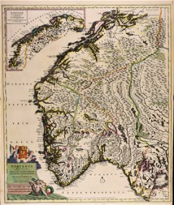
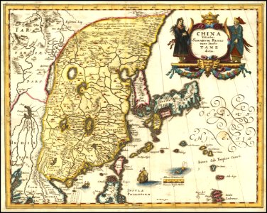
maps made in the 17th century
atlantis magni tomus tertius (biblioteca comunale di trento)
maps from the mechanical curator collection
maps from the mechanical curator collection available to georeference
maps in the library of congress
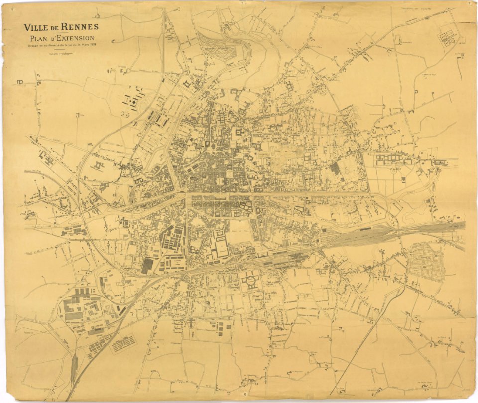
old maps of rennes
portrait paintings of standing men with left hand on hip
old maps of turin
description des principales villes (1690)
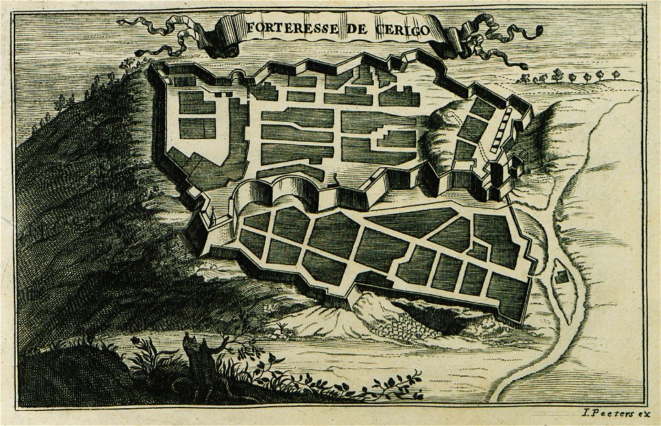
engravings of kythira
geographical illustrations by coronelli
history of the dodecanese
old maps of mecklenburg
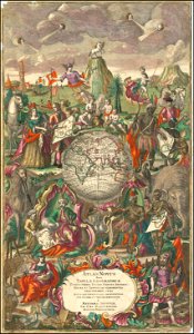
atlas maior
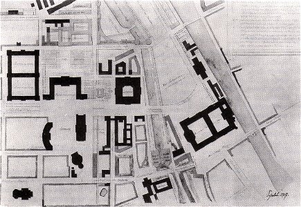
parts of old maps of berlin
alte nationalgalerie
volume 7 of le tour du monde
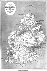
old maps of mauritius
small atlas of the russian empire (1792)
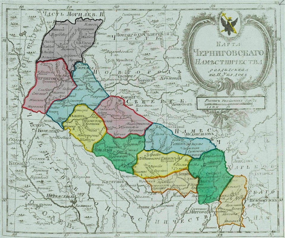
maps of chernigov governorate
atlas of the russian empire (1792)
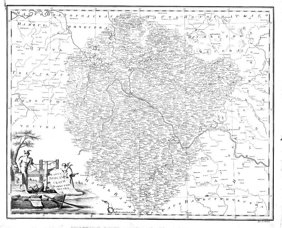
old maps of yaroslavl governorate
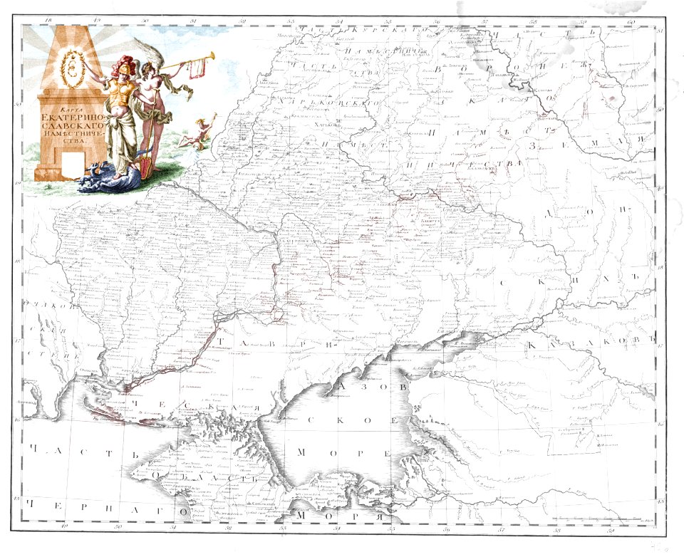
old maps of yekaterinoslav governorate
atlas of the russian empire (1792)
francesco piranesi
old maps of lazio
volume 9 of le tour du monde
1860s maps of africa
volcanic rock
isle of mull
copper engraving
maps
maps from the mechanical curator collection available to georeference
maps from the mechanical curator collection
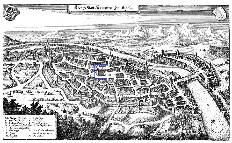
coats of arms of kempten (allgäu) (1488)
old maps of kempten (allgäu)
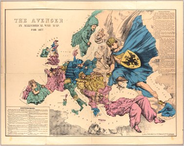
russo-turkish war (1877–1878)
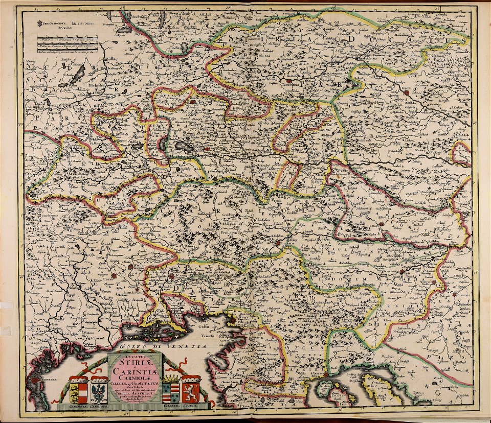
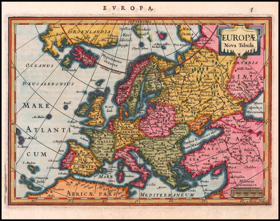
old maps of europe
portrait of prince eugene of savoy (jacob van schuppen - rijksmuseum)
baroque
men wearing armour in art
clan donald
18th-century maps of stockholm
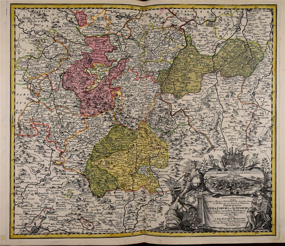
johann baptist homann
maps made in the 17th century
cornelis danckerts (ii)
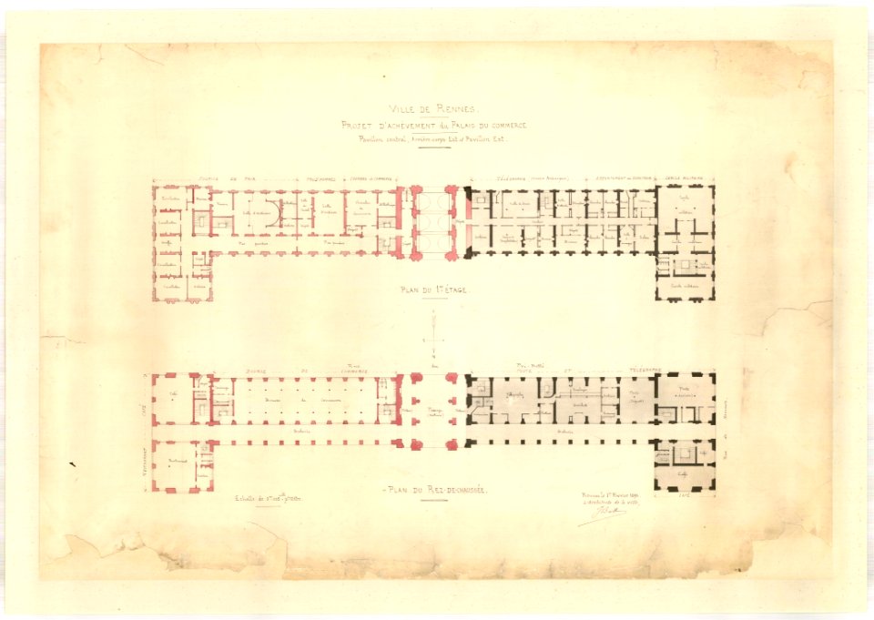
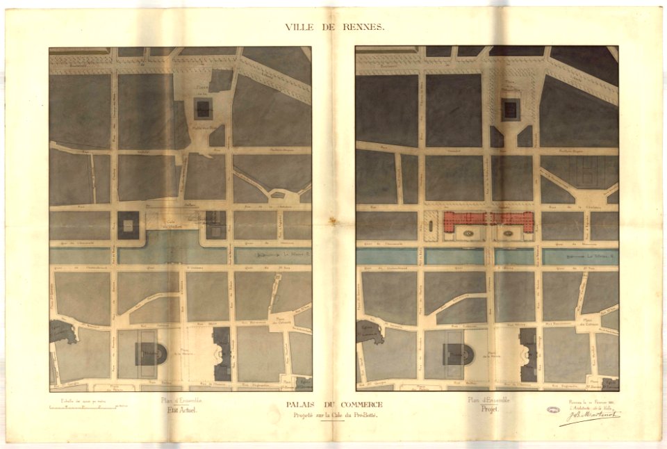
jean-baptiste martenot
rennes in the 1890s
jean-baptiste martenot
rennes in the 1880s
jean-baptiste martenot
1885 maps
tramway de rennes
1928 in bretagne
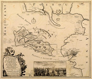
maps with cartouches
atlas van der hagen
maps with cartouches
atlas van der hagen
dutch 17th-century prints in the rijksmuseum amsterdam
maps in the rijksmuseum amsterdam
maps made in the 17th century
cornelis danckerts (ii)
maps made in the 17th century
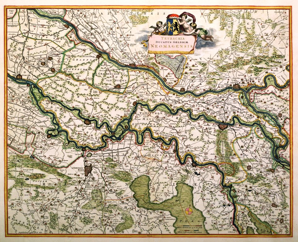
old maps of gelderland
atlantis magni tomus tertius (biblioteca comunale di trento)
maps made in the 17th century
maps made in the 17th century
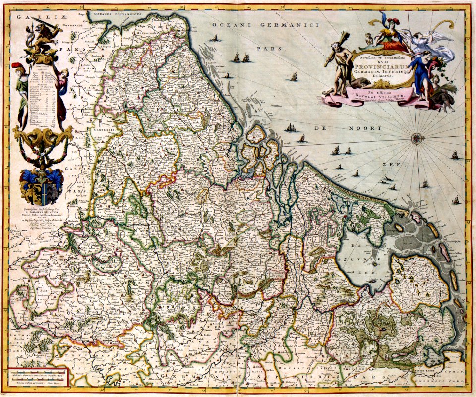
netherlands
images from the new york public library
new york city
maps made in the 17th century
adam olearius
maps made in the 17th century
cornelis danckerts (i)
old maps of rhineland-palatinate
maps made in the 17th century
bancroft library collections
california
daguerreotype portraits
james strang
portrait of doge andrea gritti (titian, washington, d.c.)
venetian school,high renaissance
james madison by gilbert stuart
neoclassicism
sainte-marie-de-ré
bombardment
portrait of john ii casimir vasa by daniel schultz (royal castle in warsaw)
baroque
imperial crown of the holy roman empire
emerald jewellery in art
paintings in the galerie des batailles
françois bouchot
edward law, 1st earl of ellenborough
frederick richard say
musée du panthéon national haïtien
richard evans (painter)
20th-century black and white portrait photographs of sitting women at three-quarter length
1908 black and white portrait photographs of women
19th-century portrait paintings in the national portrait gallery, london
james atkinson
the burning of the turkish flagship by kanaris (nikiforos lytras)
munich school
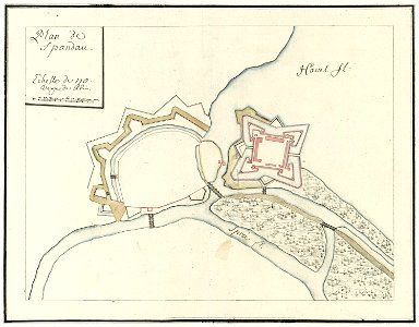
city walls of berlin-spandau
moll's map collection
university of toronto wenceslas hollar digital collection
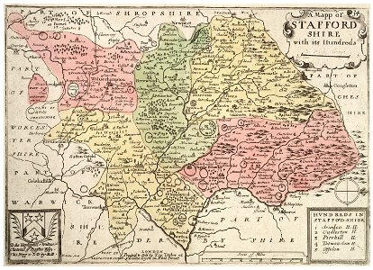
staffordshire
20th-century portrait paintings in the government art collection
works after godfrey kneller
five days of milan
battles in art
portrait paintings of ferdinand, duke of parma
pietro melchiorre ferrari
portraits of marshals of the empire (series commissioned by napoleon i)
jacques augustin pajou
19th-century portrait paintings in the musée de l'armée
édouard-louis dubufe
paintings by domingos sequeira
neoclassicism
massachusetts
eastham
pre-raphaelite brotherhood,etruscan school,aestheticism,neoclassicism,symbolism
1887 in london
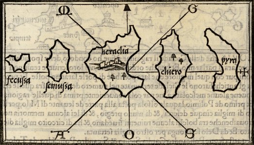
maps by benedetto bordon
donoussa
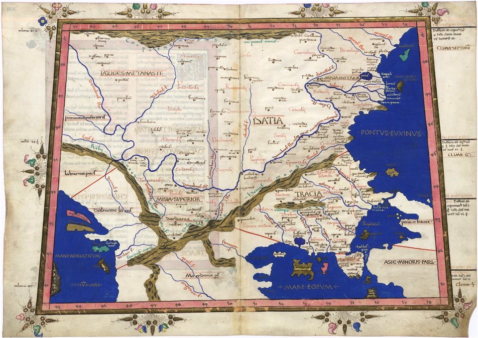
cosmographia claudii ptolomaei alexandrini
latin-language maps
popular science monthly illustrations/volume 11
1877 maps
historical images of luxembourg palace
jardin du luxembourg
coats of arms of switzerland
coats of arms of italy
prints of battle of lepanto
giovanni camocio
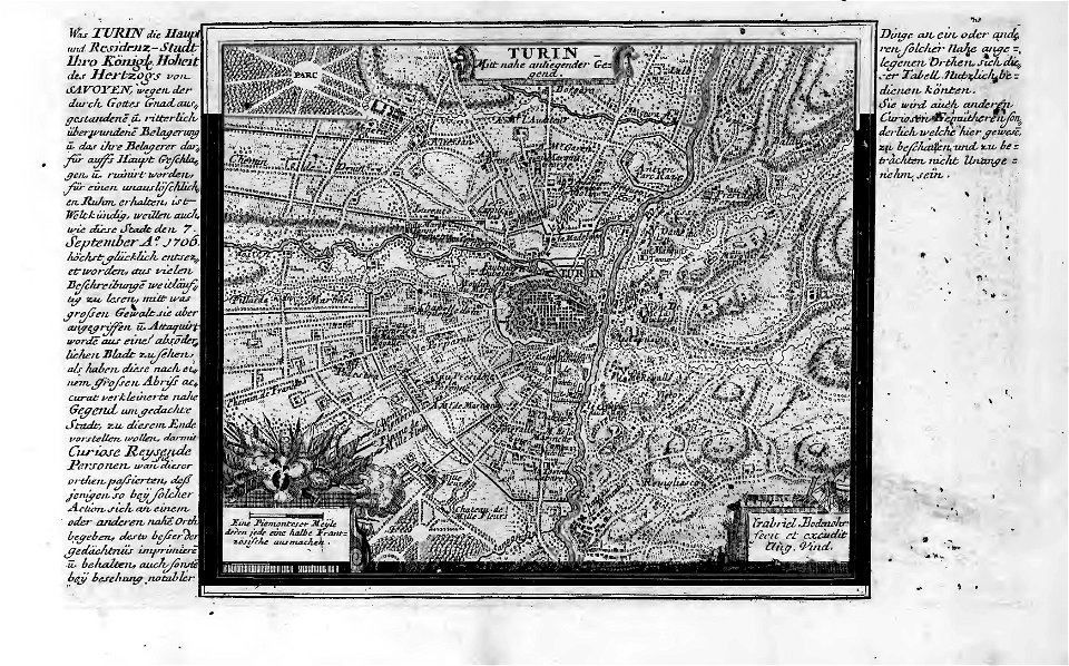
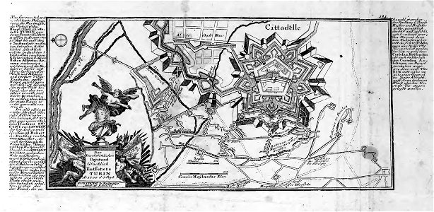
old maps of turin
history of turin
old maps of turin
history of turin
old maps of turin
history of turin
old maps of turin
history of turin
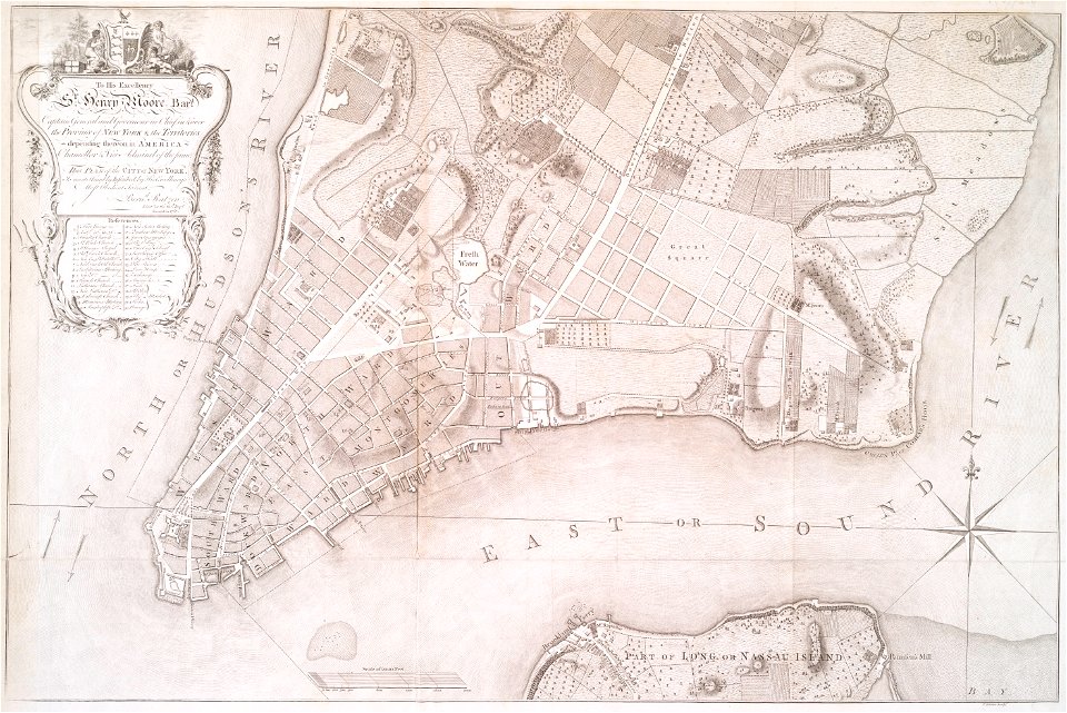
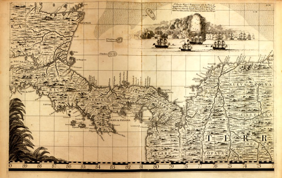
a map of the british empire in america with the french and spanish settlements adjacent thereto
maps in the library of congress
a map of the british empire in america with the french and spanish settlements adjacent thereto
maps in the library of congress
a map of the british empire in america with the french and spanish settlements adjacent thereto
maps in the library of congress
a map of the british empire in america with the french and spanish settlements adjacent thereto
maps in the library of congress
maps made in the 17th century
guillaume sanson
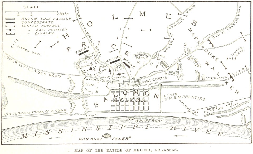
battles and leaders of the civil war (1887)
maps from the mechanical curator collection
illustrated battles of the nineteenth century
1895 drawings
illustrated battles of the nineteenth century
1895 drawings
illustrated battles of the nineteenth century
1895 drawings
carolus magnus in art
allegory
hand-drawn maps and views of world war i battlefields by h.m.
1917 maps of lithuania
new york
1891 map
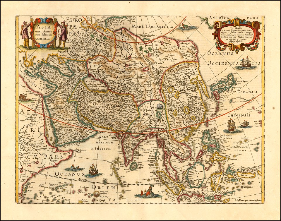
maps made in the 18th century
johann baptist homann
maps by willem and johannes blaeu
circumvallation
prince-bishopric of osnabrück
gerard valck
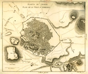
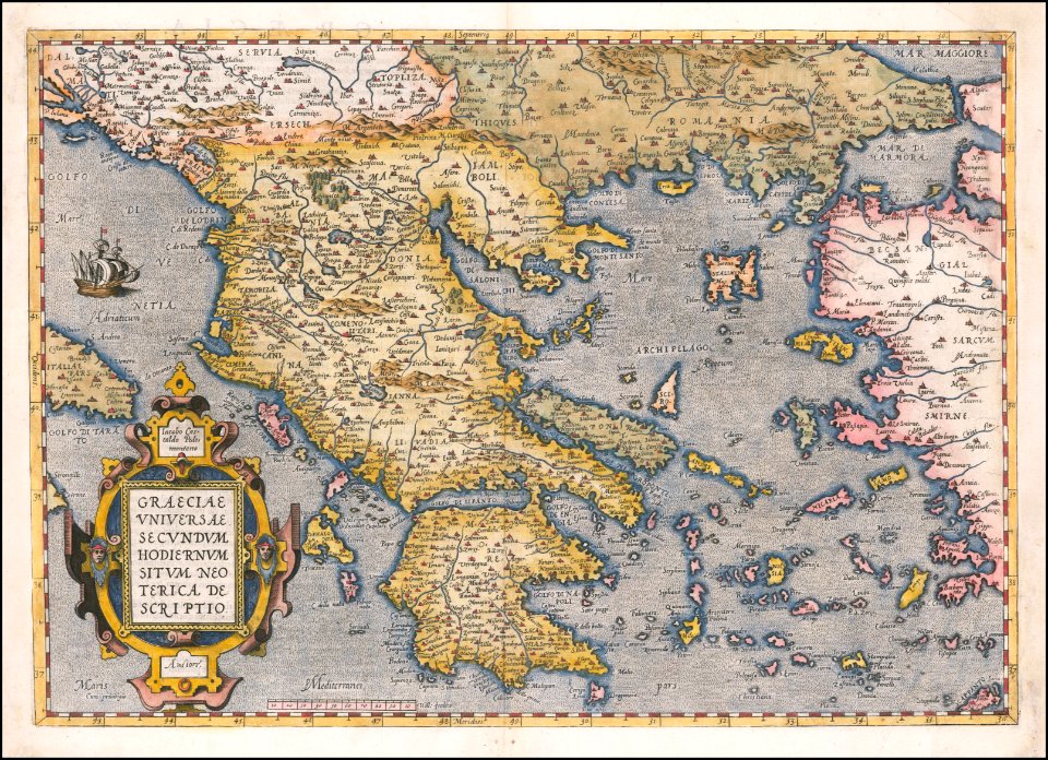
old maps of athens
1805
images from akg-images
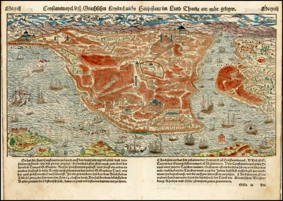
siege of vienna
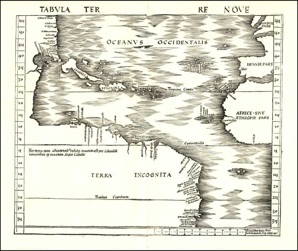
maps by martin waldseemüller
maps by abraham ortelius
maps by sebastian münster
maps by jodocus hondius
matthäus merian
1636 maps
maps by matthäus seutter
maps by jodocus hondius
19th-century satirical maps
maps by antonio zatta
19th-century satirical maps
maps by antonio zatta
lepsius-projekt - maps
abydos
nikolskoe (berlin)
1832 maps
nikolskoe (berlin)
1848 maps
maps by antonio millo
maps by antonio millo
6801 - 6900 of 1,095,865
Next page
/ 10959